Truly enjoying Bryce Canyon National Park comes with hiking. Whether you are an all day backcountry hiking expert or looking for a few short level and paved pathways that let you enjoy epic viewpoints, Bryce Canyon has something for everyone. This hiking guide takes you from the southern tip to the northern most edge of the park.
Note: when we visited Bryce Canyon in late March 2021, the Wall Street side of Navajo Loop was closed. Fairyland and Peekaboo Loop trails were also closed. Be sure to check park conditions before you plan your trip.
Table of Contents
Rainbow Point Area
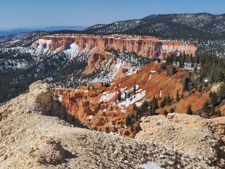
At the highest point of an 18 mile scenic drive you’ll find Rainbow Point parking area. Here you can catch the Bristlecone Loop Trail. This easy 1 mile hike takes you through an area forested with its namesake pines. This easy trail can be uneven and if early in the season may still have ice and snow.
Get Your Travel Goals Newsletter & BONUS Workbook
Another option is the paved pathway to Yovimpa Point overlook. You can find the entry point toward the beginning of the parking lot. This easy walk takes you to gorgeous views.
Rim Trail
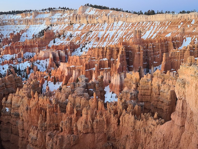
This trail actually runs all the way from Bryce Point to Fairyland Point, covering 11 miles of gorgeous viewpoints over the ever-changing formations along the canyon. Portions of it are routinely closed during winter. Only the section between Sunset and Sunrise Points is paved and relatively level. you can view the Bryce Canyon amphitheater from this easily walked 1-mile section. This accessibility makes it one of the most popular spots in the park. Getting off that beaten path and into the other 10 miles of the trail gets you away from the crowds.
Get Your Travel Goals Newsletter & BONUS Workbook
Queen’s Garden & Navajo Loop Trail
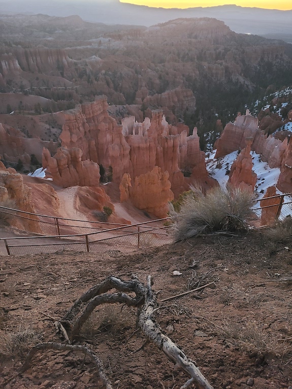
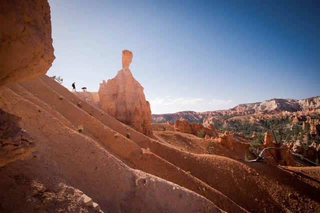
This trail is a loop connection between Sunset and Sunrise Points. It is one of the most popular ways to get down to the amphitheater floor. you will get up close to some of the most iconic formations so expect this to be a popular trail that you’ll share with others. Staying for longer than one day lets you place this hike early in the morning (possibly after watching the sunrise from Sunset Point).
Tip: To get a sense of how to best spend your time at Bryce Canyon read our Complete Guide to Bryce Canyon.
Queen’s Garden when combined with Navajo Trail is a 2.9-mile loop. Starting at the Sunset Point Navajo trailhead saves you from having to tackle those steep switchbacks going uphill at the end. Or start at Sunrise Point for a relatively easy downhill trail toward the Queen Victoria hoodoo. We started at Queen’s Garden, descending the 320 feet down to fantastic photos and views of the surrounding red, pink, orange, and white-tipped formations.
Get Your Travel Goals Newsletter & BONUS Workbook
To catch the Navajo Loop you’ll take the Two Bridges/Thor’s Hammer branch. Check to see if the Wall Street side is still closed before you go. This is a short but strenuous stretch of trail that has a 600 ft elevation change.
Mossy Cave
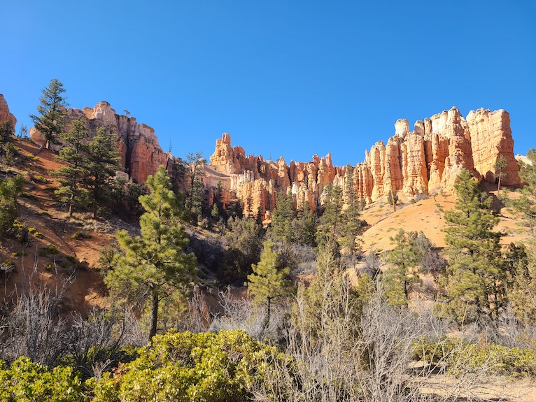
Outside of Bryce Canyon City and just 4 short miles on Hwy 12, you’ll find clear signage and a parking lot for the Mossy Cave trailhead. This is a short 0.8 mile hike along a stream and across a small bridge. After an incline up a small hill the trail forks. Go right and you’ll see the iconic though small waterfall. And to the left you can visit a sheltered overhang of rock called Mossy Cave.
This is still considered part of the park so keep your park pass or proof of payment with your vehicle for rangers to see. Don’t park along the side of the road if the parking lot is full as you may get a ticket.
Hiking Tips
Be sure to bring lots of water with you while hiking. We were sometimes surprised by the lack of water-filling stations across the parks. Keep track of your water supply and anytime you see a refill station, such as those available at the Visitor Center, fill up your reusable bottles.
Hike early in the day to avoid heat and crowds. A mild spring afternoon will feel all kinds of hot when you’re looking at a 600 ft elevation change.
Get Your Travel Goals Newsletter & BONUS Workbook
Remember in high elevations it is normal for most of us to feel out of breath, even on shorter hikes. Take it slow and be patient with yourself. You can always pretend you’re stopping to take a picture. No judgment here.

Along with that high elevation also comes chillier weather. Dress in layers to get through the day comfortably. Check to see if the impact of that colder weather has lingered a bit longer than expected. Expecting ice and snow on some trails, even in late Spring doesn’t mean you’re paranoid. It means you’re prepared. Check for closures as some trails may even stay off-limits until June.
Considering Bryce Canyon as a part of your larger Utah National Park adventure? Check out our detailed Utah National Parks Itinerary for help with your planning!
Tip: For more details on what to teach your children about hiking safety read our detailed article.
